Thursday, May 17th
We broke our pattern of sleeping later and later and actually woke up by 7:00, as we had a hard day’s drive in front of us. We had gotten very settled into our great suite in the Silliman Building, but organized things quickly and trucked them out to the car while the dazed other tourists marveled at our efficiency. We also took some time to do what we had wanted to do since we first walked into the room: they had arrayed 14 pillows on our beds (bolsters, throw pillows, giant lounging pillows, sleeping pillows, etc.) and we found an extra two in the closet just in case we ran out (there were also the sofa cushions); they cried out for a massive pillow fort and we constructed one for the maids to marvel at when they came in to make up the room. I bet everyone does that.Before we left, we wanted to breakfast on some of the food we’d brought but the problem was that the only utensil we had was a peanut butter knife. So we took turns eating yogurt with the knife, which was actually more pleasurable than you might think. Pack, pack, pack and we were out of there and checked out in the main building by 8:33, where it was a bit too crowded to take great pictures of the classic bear-holding-a-fish sculptures or the majestic mural made out of pieces of granite that was installed behind the desk. Oh well (I say again), we hope to be back to the Wuksachi Lodge someday … if you get a chance to go there, I recommend it heartily (and remember the pillow fort).

We had had some in-the-room coffee but were hoping to pick up more in the Lodgepole VC, but it wasn’t open yet! We realized that we were early enough to hit the most popular attraction of the park, the General Sherman tree (called the largest tree on the planet), before the crowds got there. We roared into the almost-empty parking lot and grabbed the best spot, then walked quickly down the long, paved walkway to the tree. They did a fun thing and the walkway started at the same elevation as the top of the tree (or close to it), and they had several informational signs on the way down to illustrate what was happening in the tree at that elevation. We finally made it down to the bottom and the detour proved well worth it: the General Sherman tree is a totally majestic Sequoia among thousands of them, and they had made a nice pattern with cobblestones to echo its footprint and give you a graphic idea how thick it was. Again, we turned around to leave and the crowds were right behind us. We passed many people on the way back up the meandering trail, though we had been alone with the tree for a moment. It’s really a gradual climb back up to the top of the walkway but you can imagine the glut of panting tourists they must have there in the summer. We got back to the car after less than a half hour and we were back on the serious road for the South exit of the Park at 9:13.
We passed the Four Guardians and the turnoff to Crystal Cave, but then we had to stop a few miles later. There had been warnings that cars might experience severe problems in navigating the Park that Spring, and the problems finally caught up with us. The South exit of the Park goes down, down, down the Middle Fork of the Kaweah (that we had seen from Moro Rock the day before), and this is a highly precipitous route that involves a lot of inching with your toenails along narrow mountain switchbacks, figuratively. They’d actually widened those paths a bit and you could get a car down them now, but the problem was getting another car back up the same way at the same time … these were narrow ledges on the mountainside.
The route had experienced some slides (remember route 140!) and some erosion and had reached the point where it needed some serious work. Since there was barely enough room on the road for two cars to pass and they needed to put their equipment somewhere while they worked on it, the only solution was to spread out their stuff on one lane while patching up and/or reconstructing the other lane. This means they had to shut the road down totally while they worked on it, sometimes for significant stretches of time. Problem! This was the only road for hundreds of miles. We could have said Oh Well (again) and turned around and exited out the Northwest exit and driven back down into the valley and looped around on route 245 (if it was open) and come back up the mountain to Three Rivers (the town at the “bottom” of the valley we were in), but that would have taken us at least half the day and betrayed us as too busy. The only thing to do was to wait.

At several published times the construction crews took a lengthy break and cleared their equipment off of one narrow strip, let the long line of cars waiting to get up the hill get up, and then let the long line of cars waiting to get down the hill get down, and then moved their equipment back and got back to work. But construction is notoriously fickle and though they made an attempt to publish the times the road would be open (we had seen the posted times at the VC but had no context as to what they meant), you just had to show up there and take your chances on when you could get through. When we got there that morning at 9:27 (the middle of nowhere, but still in the Park and still way up the mountain) the sign told us that the road would open at 10:00 but the guy holding the sign told us that really that was for the downhill cars and for us it would be more like 10:30 but we’d be the first to know! Oh well, nothing to do but turn Vicky around with the guy’s kindly help, go back up the road a bit and park in a turnoff overlooking the valley, and wander around aimlessly for an hour while the cars on the uphill side piled up.

We took pictures of Yucca Creek way below us, the crows and hawks soaring in the sky, the lovely hills all around us, the little wildflowers sticking out of the steep bank, and the construction. We hadn’t had breakfast (except for the yogurt-knife thing) or coffee (except for the minimal in-room thing) but we cracked open a bag of pecan cookies and had a great time. Caught up on the maps and what we were going to try to do that day and the next day, watched a rodent try to burrow his way clear into the mountain, had a nice chat with a British couple who arrived right behind us (she had cellphone reception, or at least pretended she did), and watched the cars piling up on our uphill side. We would have been first in line but were happier in the nice turnoff with a view.

Eventually it approached 10:00, we started the engine and got back in line (then turned it off again), the cars from downhill showed up: an impossibly long line of them (including the Google street-view car! we might actually be on street view on the side of a mountain in the California Sierra!!), and then we all started our engines and took off downhill behind the pace car, which physically limited our group to around 15MPH. We soon realized that this speed was about right … that road was in horrible shape and we might have skidded off the mountain or lost something in the potholes if we hadn't been forced to go slowly.
Eventually we descended as far as the new construction that they were building up the hill and we felt a bit safer, though that stretch of route 198 coming down out of Sequoia NP is as steep and twisting and scary as the best of them, even when it’s in good repair! The ecosystem had completely changed to ghost trees and chaparral, and when we got to “the bottom” we passed the long, LONG line of cars already waiting for the next uphill window, which we knew wouldn't be until 2:00 … they were in for a long wait. We’d already descended from 6409 feet at the Giant Forest (the Sherman tree) to 1700 feet when we exited Sequoia NP at the Ash Mountain Entrance at 11:15, but in reality we still had miles and miles to descend alongside the Kaweah River into the sudden yuppie/tourist town of Three Rivers. We had considered getting a hotel room there for the Sequoia NP part of the trip, but were very glad we hadn't. It would have taken hours to get to the hiking sites we were able to get to in a relatively short drive while we stayed at Wuksachi Lodge. It was sad to leave the Sierra and Sequoia NP, which we’d loved so much, but it was time to head for the coast and start the second half of our vacation.

We weren’t going down as rapidly after Three Rivers, but we were still on the huge parabola and we had miles and miles to drain downhill, around massive Lake Kaweah and then down some more until we were in the smoggy, hazy, dusty, dirty bottom of the San Joaquin Valley and began driving straight across it through miles and miles of orchards and then through the big town of Visalia, still on route 198. The endless orchards surrounded us and stretched out forever, broken just a bit when we passed through Visalia, and by the time we got to Lemoore we were desperate for lunch and pulled off of the highway. We did some scouting, looking for a nice place where foreigners like us could eat, and realized that probably the best place was a dirty, greasy-looking shack right off the highway across from the high school. This place turned out to be excellent, and fed us great cheeseburgers with the freshest vegetables for $3.00 each.

Back on the road and we were soon stopped for construction again. Counting the long wait in Sequoia we had to stop and wait for construction four times that day. At one place in the middle of flat nowhere we had to wait for a half hour, finally got going amongst a string of at least a hundred cars, and then watched carefully and saw NO REASON why they didn’t keep two lanes of traffic open! It’s like traffic and traffic delays are part of the California culture or something. We finally, finally, finally got past the fourth official delay of the day and started back uphill after Kettleman City, now Southwest on route 41 and finally leaving the San Joaquin Valley, though slowly. We crested Cottonwood Pass at 2060 feet, passed through the deserted and dry town of Cholame in the middle of that range, and then followed the barely moist Estrella River for a while. We kept Southwest on route 41 in the middle of the desolate hills, and then the environment finally started turning greener and we could at last sense/smell the sea over the horizon as we crossed under route 101 in Atascadero and then crested the Santa Lucia range and were on the final stretch to the Pacific.
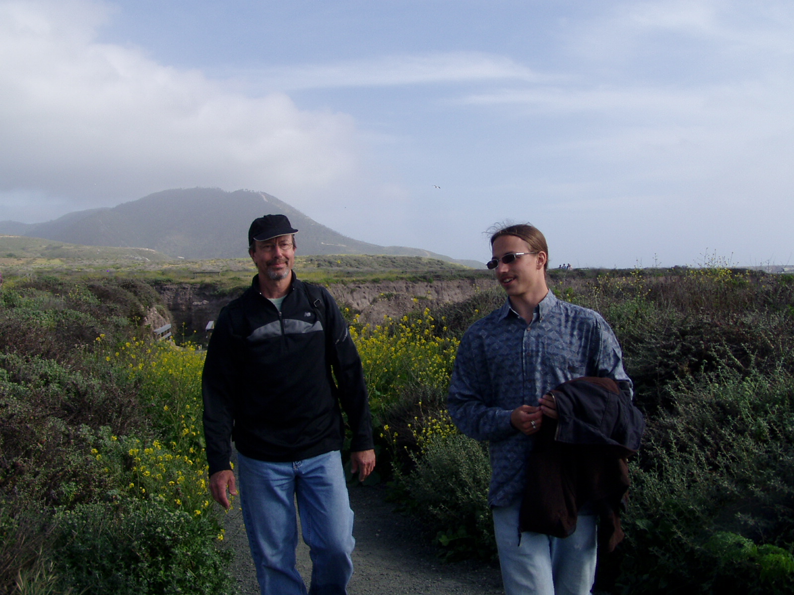
Defeated souls (or us at the start of the vacation) would probably have bagged after a long, dusty, car-cramped drive like that and headed for the hotel or campsite, but we had a plan and stuck to it … we were going to see that ocean up close! We turned due South in the coastal city of Morro Bay and then, with a little confusion, kept due South and crossed a wide salt marsh, then forked West some more through the suburban town of Los Osos until the houses ended and the wild coast greeted us and we arrived after that endless drive in Montaña De Oro State Park. The last stretch was through a forest of ghostly eucalyptus trees as the blue, black, and white Pacific teased us with views around and behind the dunes, civilization totally ended, the cars dropped behind, and we pulled into the small lot we’d read about at the South end of Spooner Cove at the trailhead for the Bluff Trail. We tumbled out of the car at 4:30 while we (and Vicky) faced the Pacific at the end of our journey. Phew!
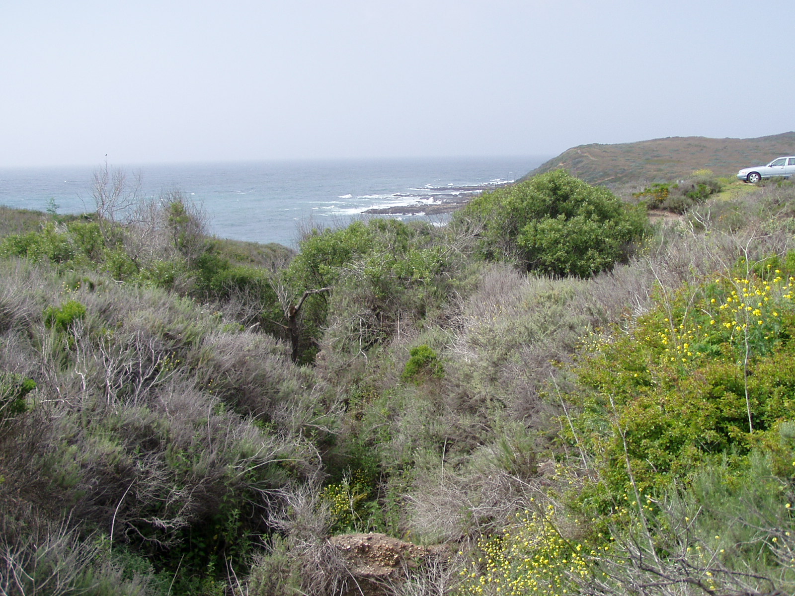
OK, I’ve gushed about Yosemite and Kings Canyon and Sequoia and probably countless things in my life, but you have to give me a break here. The next couple of hours was one of the most amazing natural experiences of my life, because I saw just a staggering number of species of flowers, vertebrates, seaweed, mollusks, rocks, shrubs, grass, animals, trees, and what have you. The brain is accustomed to experiencing new things, but to see, smell, and hear the number of new things that we saw in such a short time was almost overwhelming. If we’d had an interlude like this soon after we arrived in California we wouldn’t have known how to take it (like when Sarah and I were there in ’86), but at this point of the vacation we were all primed to drink it in and be delighted. This was landing on another planet for us Eastern types. We all immediately thought of Dr. Who … this was beyond our ken, and over and over on the Pacific coast we saw things that were so laughably strange to us they could have been Dr. Who monsters.

I can’t begin to catalog all the wildflowers we saw in our walk along the Bluff Trail or all the sights we saw looking over the bluff into the sea or gazing across the wind-swept meadows full of bushes, flowers, and low trees and up the hills where the wisps of coastal fog still clung to the ravines in the late afternoon. I can’t catalog them because there were such an incredible number (more around each bend) that we’d never seen before and could not name. After a mile or so, a wood walkway led down into Corallina Cove and I was more amazed than I had been on the bluffs as we made our way down to the shore.

The tortured sheets of shale that make up that part of the coast were fractured or eroded into coves such as Corallina, and surrounded them with cliffs covered with a conglomerate of dirt and rocks. In the sheltered coves the shale had worn into a fine sand. I took off my shoes and waded in the cold (but not too cold) ocean, marveling at the incredible variety of seaweed and pebbles. Funny birds with red beaks (Oystercatchers) popped up among the rocks, a squadron of pelicans flew slowly up the coast against the wind, a huge seal (supposedly a Harbor Seal but much larger than the harbor seals in Maine) surfaced in the cove and nonchalantly swam away. I put my shoes back on and clambered among the rocks, finding a tidal pool with a host of marvels in it. Sea anemones, including a couple as big as lunch plates, dominated the pool, except for a little one that was being eaten(!) by a couple of the countless hermit crabs. There were whelks, snails, weirdly colored sea urchins, periwinkles, all slightly different in size and movement than existed on my planet. Sarah and Dave were having as much fun as I was, and we all could have stayed there for hours.

But we didn’t … we climbed back up to the bluff and continued along the trail, seeing a couple of California Quail families, countless other birds, rabbits hiding in the bush, ground squirrels popping up and sniffing the air like prairie dogs, and all around us the beautiful blue sea and the acres and acres of wildflowers rising up to the now shaded hills. There were a number of other people walking slowly among the bluffs and there had been some down in the cove, but for once I could not complain … people should come from all over the world and see this place. The sky was not as brilliant as you might imagine, there was some mist, the wind was strong, and it was a little chilly, but that just made Montaña De Oro more beautiful.

The day was getting on and so we wound back around the bluffs and took a short-cut back to the parking lot. We had a very hard time tearing ourselves away from that place. We’re basically coastal people and it sure seemed like the destination we’d been preparing for all through the mountains, like we’d somehow come back home but it was very, very different. We got back in the car and pointed it North finally, knowing that there was hundreds of miles of California coast to come. There was a Von’s in Los Osos right where we wanted it, and we did a quick pit stop for beer, chips, and some more bread.

Got onto route 1 North in Morro Bay and caught glimpses of incredible Morro Rock (as opposed to Moro Rock, which we’d climbed the day before), sticking up out of the Pacific to mark the entrance to the harbor. We cruised the 10 or so miles on up to Cayucos and exited into town, where we kept an eye out for the Shoreline Inn, a cute little seaside Inn where we had reservations and got a big sea-view room on the first floor (with excellent Internet).
We asked at the desk for dinner recommendations and, as with most seaside towns, it turned out we could go anywhere from really expensive to cheap and probably get the same fried fish at all of them. We headed up the beach to the town pier, which juts way out into the Pacific and gave us ghostly views of Morro Rock through the mist to the South. A surf rescue crew on jet skis with full wetsuits (hoods and booties) practiced in the lee of the pier. The wind was just dying down and the ripples it made on the green waves it had kicked up beforehand reflected the dying sun in glints of silver and gold. Yet again, we were entranced and could have watched those ripples for hours. But it was getting a little cold and we were definitely hungry.

We headed for the Schooner Inn, where they (for some reason) just had the chilly upper deck open and we crammed in there under their dangerous-looking braziers with about a dozen other people. We were probably the only tourists in the place, the others were all locals used to eating fish outside while they froze! We asked the waitress what time of year it had to be before people swam there and she looked at us like we were from another planet and said, “They don’t … not without wetsuits.” We confessed to her that we were from another planet (I think our accents gave us away anyway) and things went well after that, as she gave us water and beer and tea and lots of food. Dave had a calamari steak (on questioning, the waitress confessed that squids don’t really have steaks, this was a bit of a really big squid pounded flat), Sarah had fish and chips, and I had a halibut slaw with peanut sauce that was excellent.
The sun had just set when we wended our way back to the Shoreline Inn and in a freshwater gully we passed that emptied onto the beach the frogs had started their evening chorus and had a deafening croaking going already. We were afraid they’d keep it up, but they ran out of gas soon and we settled into our room, threw some clothes and other stuff here and there, and then collapsed into sleep.

No comments:
Post a Comment